Hectare Logo

Simple tools for precision agriculture

Hectare iOS App

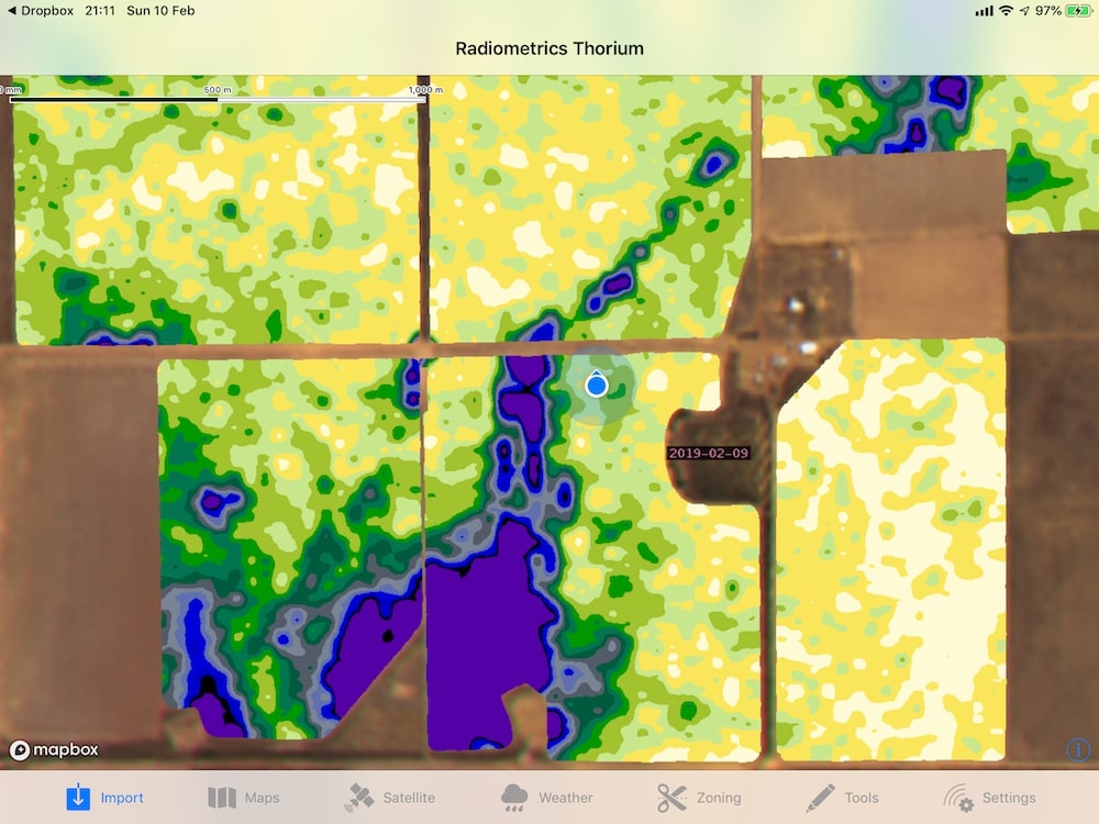
Easy to use mapping tools

Open multiple map types, including shape, csv, kml and kmz files.

Import maps from anywhere, including Dropbox, Google Drive and your emails.

Transferring maps between iOS devices using Hectare is easy with AirDrop (no internet required).

Hectare Map Importing

Frequent, high resolution satellite imagery

New, high resolution 10m satellite imagery every 5 days.

Available in multiple bands, including True Colour, NDVI and Moisture.

Hectare Satellite Imagery

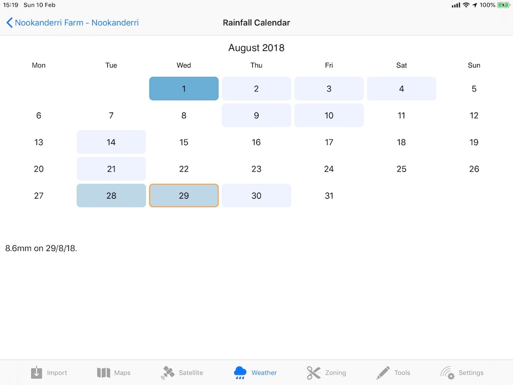
Realtime rainfall & weather

Hectare can connect to WildEye automated weather stations to provide you with realtime information.

The app also connects to DPIRD to pull in yearly histories, month to date totals and more.

Hectare Rainfall Calendar

Connect to devices and operate machinery

Hectare can stream GPS data from third party devices, like the Emlid Reach.

MyJohnDeere Machine Tracking
Kyle Carson

We used Hectare at harvest time to help cut out high moisture areas in our barley and canola. It worked a treat.

Kyle Carson - Ajana & Binnu Farmer

Try Hectare today